Geolocate

Dewalt topographic map

Click on the map to display elevation.

About this map

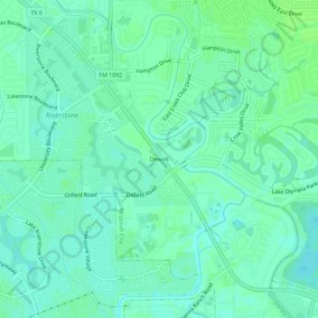
Name: Dewalt topographic map, elevation, terrain.

Location: Dewalt, Missouri City, Fort Bend County, Texas, 77459, United States (29.53659 -95.57694 29.57659 -95.53694)

Average elevation: 22 m

Minimum elevation: 18 m

Maximum elevation: 26 m

Other topographic maps

Click on a map to view its topography, its elevation and its terrain.

Gear up for your next adventure:

🥾Waterproof Hiking Shoes - Durable shoes for wet and rugged trails
🧊Insulated Water Bottle - Keeps drinks cold in summer and prevents freezing in winter
🌬️Windproof Camp Stove - Efficient cooking even on exposed mountain peaks
Camping Coffee Maker - Brew fresh coffee anywhere on the topographic map
🛁Quick-Dry Microfiber Towel - Space-saving towel that dries rapidly on the move

As an Amazon Associate, this site earns from qualifying purchases at no extra cost to you.