
Stessen topographic map
Interactive map
Click on the map to display elevation.
About this map
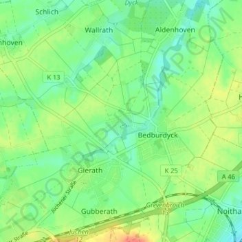
Name: Stessen topographic map, elevation, terrain.
Average elevation: 67 m
Minimum elevation: 50 m
Maximum elevation: 92 m
Other topographic maps
Click on a map to view its topography, its elevation and its terrain.
Schloss Dyck
Deutschland > Nordrhein-Westfalen > Rhein-Kreis Neuss > Jüchen > Bedburdyck
Schloss Dyck, Schlossbrücke, Bedburdyck, Jüchen, Rhein-Kreis Neuss, Nordrhein-Westfalen, 41363, Deutschland
Average elevation: 59 m