Geolocate

Bhogpur topographic map

Click on the map to display elevation.

About this map

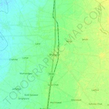
Name: Bhogpur topographic map, elevation, terrain.

Location: Bhogpur, Jalandhar II Tahsil, Jalandhar, Punjab, 144201, India (31.51368 75.60191 31.59368 75.68191)

Average elevation: 244 m

Minimum elevation: 235 m

Maximum elevation: 253 m

Gear up for your next adventure:

🧳Compression Sacks - Maximize space in your backpack by shrinking gear
🗺️Topographic Maps - Detailed maps to explore trails, mountains, and wilderness areas
🥾Light Hiking Boots - Lightweight and comfortable boots for day hikes
💡Compact LED Flashlight - Powerful and portable flashlight for outdoor use
🥽Outdoor Goggles - Protective eyewear for outdoor activities

As an Amazon Associate, this site earns from qualifying purchases at no extra cost to you.