
Thank you for supporting this site ❤️
Make a donation
Make a donation
Gear up for your next adventure:
As an Amazon Associate, this site earns from qualifying purchases at no extra cost to you.
Bumbogo topographic map
Click on the map to display elevation.
Thank you for supporting this site ❤️
Make a donation
Make a donation
Gear up for your next adventure:
As an Amazon Associate, this site earns from qualifying purchases at no extra cost to you.
About this map
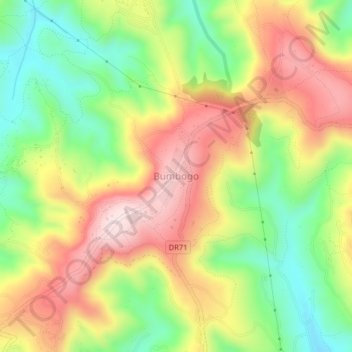
Name: Bumbogo topographic map, elevation, terrain.
Location: Bumbogo, Gasabo District, Kigali City, Rwanda (-1.89843 30.13701 -1.85843 30.17701)
Average elevation: 1,644 m
Minimum elevation: 1,456 m
Maximum elevation: 1,844 m
Thank you for supporting this site ❤️
Make a donation
Make a donation
Gear up for your next adventure:
As an Amazon Associate, this site earns from qualifying purchases at no extra cost to you.