Geolocate

Lac Vert topographic map

Click on the map to display elevation.

About this map

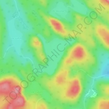
Name: Lac Vert topographic map, elevation, terrain.

Location: Lac Vert, Lac-Normand, Mékinac, Mauricie, Quebec, Canada (47.13929 -73.40804 47.14944 -73.39434)

Average elevation: 436 m

Minimum elevation: 389 m

Maximum elevation: 505 m

Mékinac trails, hiking, mountain biking, running and outdoor activities

Gear up for your next adventure:

🧤Thermal Hiking Gloves - Grip-enhanced gloves for cold-weather altitude trekking
🧴Insect Repellent - Protect yourself from bugs during outdoor adventures
🛁Quick-Dry Microfiber Towel - Space-saving towel that dries rapidly on the move
🧤Rechargeable Heated Gloves - Extreme warmth for Canadian winter expeditions
🧥Waterproof Hiking Jacket - Protect yourself from rain and wind while hiking

As an Amazon Associate, this site earns from qualifying purchases at no extra cost to you.