
Ong topographic map
Interactive map
Click on the map to display elevation.
About this map
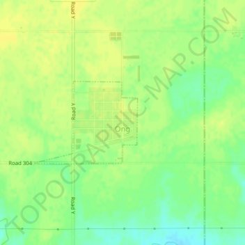
Name: Ong topographic map, elevation, terrain.
Location: Ong, Clay County, Nebraska, 68452, Estados Unidos de América (40.39395 -97.84912 40.40303 -97.83387)
Average elevation: 514 m
Minimum elevation: 501 m
Maximum elevation: 520 m