Geolocate

Bismark topographic map

Click on the map to display elevation.

About this map

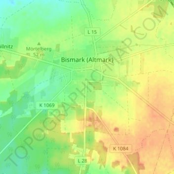
Name: Bismark topographic map, elevation, terrain.

Location: Bismark, Bismark (Altmark), Stendal, Saxony-Anhalt, Germany (52.63864 11.52861 52.67633 11.58949)

Average elevation: 53 m

Minimum elevation: 34 m

Maximum elevation: 69 m

Gear up for your next adventure:

🧣Evaporative Cooling Towel - Beat the heat during intense summer climbs
🥾Mountain Hiking Shoes - Shoes with superior grip for mountainous terrain
🔦UV Flashlight - Detect minerals or specific insects in the dark
🛏️Camping Sleeping Mat - Comfortable mats for sleeping outdoors
🏃Hydration Running Vest - Carry water and maps close to your body for speed

As an Amazon Associate, this site earns from qualifying purchases at no extra cost to you.