Geolocate

Mecca topographic map

Click on the map to display elevation.

About this map

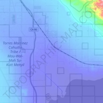
Name: Mecca topographic map, elevation, terrain.

Location: Mecca, Riverside County, California, 92254, United States (33.50482 -116.12018 33.59874 -115.97395)

Average elevation: -41 m

Minimum elevation: -72 m

Maximum elevation: 329 m

Gear up for your next adventure:

🧥Softshell Jacket - Windproof and breathable jacket for hiking
🛁Quick-Dry Microfiber Towel - Space-saving towel that dries rapidly on the move
💡Portable Camping Lamp - Rechargeable lamp for campsite lighting
🧴First Aid Kit - Essential first aid supplies for outdoor emergencies
🔋Solar Power Bank - Keep your GPS and devices charged during long outdoor trips

As an Amazon Associate, this site earns from qualifying purchases at no extra cost to you.