Geolocate

San Martin topographic map

Click on the map to display elevation.

About this map

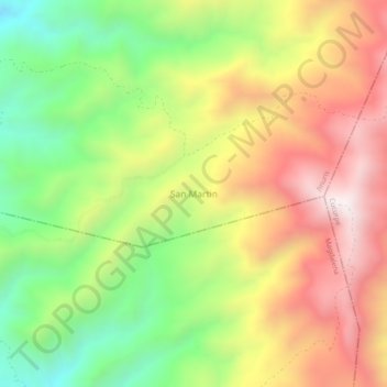
Name: San Martin topographic map, elevation, terrain.

Location: San Martin, Imuris, Sonora, Mexico (30.61583 -110.79400 30.65583 -110.75400)

Average elevation: 1,514 m

Minimum elevation: 1,037 m

Maximum elevation: 2,018 m

Gear up for your next adventure:

🔥Camping Stove - Portable stoves to cook outdoors with ease
🧰Survival Kit - Essential gear for emergencies in the wilderness
Tent Footprint - Protect tent floor and increase durability
🥾Trail Running Boots - Durable shoes designed for trail running
🧥Softshell Hiking Jacket - The perfect balance of wind protection and breathability

As an Amazon Associate, this site earns from qualifying purchases at no extra cost to you.