Geolocate

Yonaguni topographic map

Click on the map to display elevation.

About this map

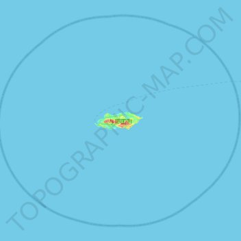
Name: Yonaguni topographic map, elevation, terrain.

Location: Yonaguni, Yaeyama, Okinawa Prefecture, 907-1801, Japan (24.23719 122.71418 24.67477 123.26477)

Average elevation: 0 m

Minimum elevation: 0 m

Maximum elevation: 202 m

Gear up for your next adventure:

🧴Waterproofing Spray - Restore the DWR coating on jackets and tents
🥾Lightweight Hiking Boots - Boots for comfort and mobility on long hikes
👟Sport Hiking Sandals - Breathable footwear for water crossings and camp rest
🎒Backpack Rain Cover - External shield to keep your entire pack dry
🚲Handlebar Phone Mount - View topographic-map.com live while cycling

As an Amazon Associate, this site earns from qualifying purchases at no extra cost to you.