Geolocate

Anca topographic map

Click on the map to display elevation.

About this map

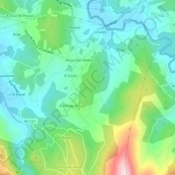
Name: Anca topographic map, elevation, terrain.

Location: Anca, Neda, Ferrol, A Coruña, Galicia, Spain (43.48210 -8.12844 43.51318 -8.08864)

Average elevation: 124 m

Minimum elevation: 23 m

Maximum elevation: 394 m

Gear up for your next adventure:

Lightweight Camping Tent - Portable shelter optimized for Canadian backcountry camping
🧦Outdoor Socks - Durable socks designed for hiking and outdoor sports
🥾Mountain Trail Shoes - High-traction shoes for mountain trails
🥘Camping Cookware Set - Compact nesting pots and pans for trail cooking
🛌Insulated Sleeping Pad - Critical thermal barrier between you and the cold ground

As an Amazon Associate, this site earns from qualifying purchases at no extra cost to you.