
L’Avenir topographic map
Interactive map
Click on the map to display elevation.
About this map
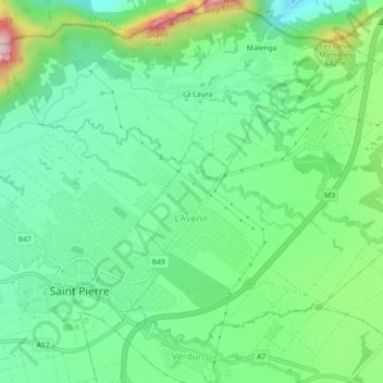
Name: L’Avenir topographic map, elevation, terrain.
Location: L’Avenir, Moka, Îles éparses de Maurice, Maurice (-20.23067 57.54448 -20.19755 57.58898)
Average elevation: 430 m
Minimum elevation: 292 m
Maximum elevation: 760 m
Other topographic maps
Click on a map to view its topography, its elevation and its terrain.