Geolocate

Wasi Lake topographic map

Click on the map to display elevation.

About this map
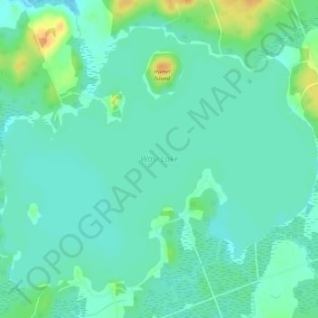
Name: Wasi Lake topographic map, elevation, terrain.

Location: Wasi Lake, Chisholm Township, Nipissing District, Northeastern Ontario, Ontario, Canada (46.12537 -79.24859 46.15261 -79.20130)

Average elevation: 267 m

Minimum elevation: 258 m

Maximum elevation: 290 m

Other topographic maps

Click on a map to view its topography, its elevation and its terrain.

Gear up for your next adventure:

🧊Insulated Water Bottle - Keeps drinks cold in summer and prevents freezing in winter
🥾Lightweight Hiking Boots - Boots for comfort and mobility on long hikes
🍽️Titanium Camping Spork - Ultralight and indestructible eating utensil
🔦LED Flashlight - Powerful and long-lasting flashlight for camping and emergencies
❄️Traction Ice Cleats - Slip-on spikes for icy trails and winter hiking

As an Amazon Associate, this site earns from qualifying purchases at no extra cost to you.