Geolocate

Shashi topographic map

Click on the map to display elevation.

About this map

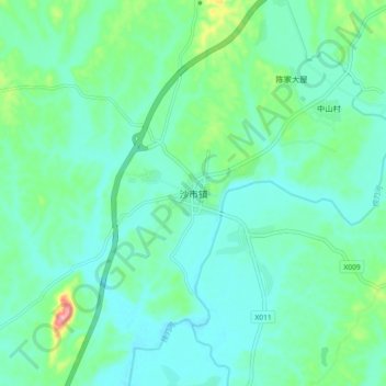
Name: Shashi topographic map, elevation, terrain.

Location: Shashi, Liuyang, Hunan, China (28.30800 113.38571 28.38800 113.46571)

Average elevation: 83 m

Minimum elevation: 56 m

Maximum elevation: 187 m

Gear up for your next adventure:

🥤Collapsible Travel Cup - Saves space and weight in your mess kit
🔦LED Flashlight - Powerful and long-lasting flashlight for camping and emergencies
🪜Heavy Duty Carabiners - Multi-use clips for securing gear to your backpack
🦯Trekking Poles - Reduced impact on joints for steep topographic climbs
🛶Kayak Accessories - Essential gear for safe and fun kayaking adventures

As an Amazon Associate, this site earns from qualifying purchases at no extra cost to you.