
Thank you for supporting this site ❤️
Make a donation
Make a donation
Gear up for your next adventure:
As an Amazon Associate, this site earns from qualifying purchases at no extra cost to you.
Oost-Souburg topographic map
Click on the map to display elevation.
Thank you for supporting this site ❤️
Make a donation
Make a donation
Gear up for your next adventure:
As an Amazon Associate, this site earns from qualifying purchases at no extra cost to you.
About this map
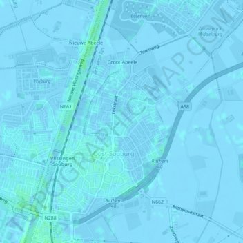
Name: Oost-Souburg topographic map, elevation, terrain.
Location: Oost-Souburg, Vlissingen, Zeeland, Netherlands (51.45686 3.59210 51.47933 3.62242)
Average elevation: 0 m
Minimum elevation: -4 m
Maximum elevation: 4 m
Thank you for supporting this site ❤️
Make a donation
Make a donation
Gear up for your next adventure:
As an Amazon Associate, this site earns from qualifying purchases at no extra cost to you.