Geolocate

Pavagada topographic map

Click on the map to display elevation.

Pavagada

Pavagada is located at 14°06′N 77°16′E / 14.1°N 77.27°E / 14.1; 77.27. It has an average elevation of 646 metres (2,119 feet).

Wikipedia (CC-BY-SA 3.0)

About this map

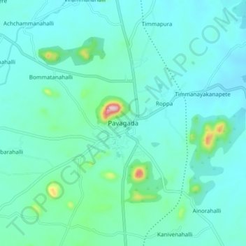
Name: Pavagada topographic map, elevation, terrain.

Location: Pavagada, Pavagada taluk, Tumakuru District, Karnataka, 561202, India (14.06073 77.24001 14.14073 77.32001)

Average elevation: 643 m

Minimum elevation: 599 m

Maximum elevation: 910 m

Gear up for your next adventure:

🔨Vehicle Emergency Tool - Safety tool for remote road trips to trailheads
🔥Emergency Fire Starter - Reliable ignition source for all weather conditions
🥫Freeze-Dried Meals - Lightweight, high-calorie nutrition for multi-day treks
🔦UV Flashlight - Detect minerals or specific insects in the dark
🛌Insulated Sleeping Pad - Critical thermal barrier between you and the cold ground

As an Amazon Associate, this site earns from qualifying purchases at no extra cost to you.