Geolocate

Libarna topographic map

Click on the map to display elevation.

About this map
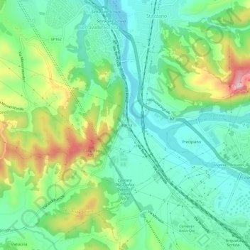
Name: Libarna topographic map, elevation, terrain.

Location: Libarna, Serravalle Scrivia, Alessandria, Piedmont, 15069, Italy (44.68990 8.84072 44.72990 8.88072)

Average elevation: 268 m

Minimum elevation: 188 m

Maximum elevation: 444 m

Gear up for your next adventure:

🧰Emergency Multi-Tool - Compact multi-tool for outdoor survival
🎒Hiking Backpack - Lightweight and ergonomic backpacks for day hikes or multi-day treks
🛌Down Sleeping Bag - Superior warmth-to-weight ratio for cold nights
🧴Waterproofing Spray - Restore the DWR coating on jackets and tents
👟Leg Gaiters - Keep debris, mud, and snow out of your boots

As an Amazon Associate, this site earns from qualifying purchases at no extra cost to you.