
Lac-Vert topographic map
Interactive map
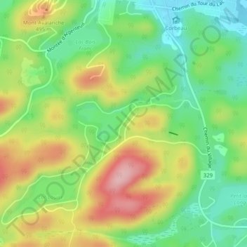
Click on the map to display elevation.
About this map
Name: Lac-Vert topographic map, elevation, terrain.
Average elevation: 437 m
Minimum elevation: 365 m
Maximum elevation: 534 m
Other topographic maps
Click on a map to view its topography, its elevation and its terrain.
Lac-Vingt-Sous
Canada > Quebec > Saint-Adolphe-d'Howard
Lac-Vingt-Sous, Saint-Adolphe-d'Howard, Les Pays-d'en-Haut, Laurentides, Quebec, J0T 2B0, Canada
Average elevation: 467 m
Lac Garry
Canada > Quebec > Saint-Adolphe-d'Howard
Lac Garry, Chemin de la Fougeraie, Saint-Adolphe-d'Howard, Les Pays-d'en-Haut, Laurentides, Quebec, Canada
Average elevation: 463 m