Geolocate

Neidhardswinden topographic map

Click on the map to display elevation.

About this map
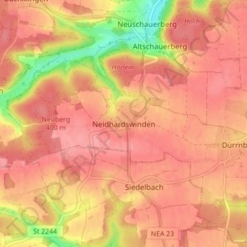
Name: Neidhardswinden topographic map, elevation, terrain.

Location: Neidhardswinden, Emskirchen, Landkreis Neustadt an der Aisch-Bad Windsheim, Bayern, 91448, Deutschland (49.50128 10.67382 49.54128 10.71382)

Average elevation: 386 m

Minimum elevation: 323 m

Maximum elevation: 410 m

Other topographic maps

Click on a map to view its topography, its elevation and its terrain.

Gear up for your next adventure:

⛺Camping Groundsheet - Protect your tent from moisture and dirt
🧢Hiking Sun Hat - Wide-brimmed protection for exposed mountain ridges
🥾Waterproof Hiking Boots - Essential footwear for rugged terrain and wet Canadian trails
🔋Emergency Crank Radio - Weather alerts and power without needing batteries
🪑Ultralight Camping Stool - Compact seating for rest stops during long hikes

As an Amazon Associate, this site earns from qualifying purchases at no extra cost to you.