Geolocate

Brezovac topographic map

Click on the map to display elevation.

About this map

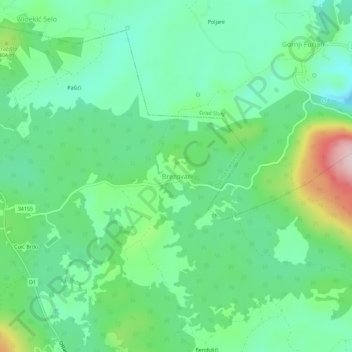
Name: Brezovac topographic map, elevation, terrain.

Location: Brezovac, Općina Rakovica, Karlovac County, 47254, Croatia (45.02953 15.63882 45.06953 15.67882)

Average elevation: 341 m

Minimum elevation: 255 m

Maximum elevation: 556 m

Other topographic maps

Click on a map to view its topography, its elevation and its terrain.

Općina Netretić

Croatia > Karlovac County

Average elevation: 198 m

Gear up for your next adventure:

🧭GPS Outdoor Watch - Smart watch for navigation and fitness tracking in nature
💡Compact LED Flashlight - Powerful and portable flashlight for outdoor use
🥾Light Hiking Boots - Lightweight and comfortable boots for day hikes
🧊Insulated Water Bottle - Keeps drinks cold in summer and prevents freezing in winter
🕶️Polarized Sunglasses - Protect your eyes with durable polarized lenses

As an Amazon Associate, this site earns from qualifying purchases at no extra cost to you.