Geolocate

Entasekera topographic map

Click on the map to display elevation.

About this map

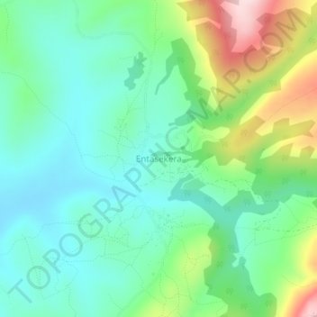
Name: Entasekera topographic map, elevation, terrain.

Location: Entasekera, Loita ward, Narok South, Narok, Rift Valley, Kenya (-1.87000 35.83000 -1.83000 35.87000)

Average elevation: 1,997 m

Minimum elevation: 1,904 m

Maximum elevation: 2,222 m

Gear up for your next adventure:

👖Convertible Hiking Pants - Zip-off legs to adapt to changing weather conditions
🧰Multitool Knife - Compact and versatile tool for outdoor use
🎒Hiking Backpack - Lightweight and ergonomic backpacks for day hikes or multi-day treks
🐕Hiking Dog Pack - Let your canine companion carry their own water and food
🦶Hiking Shoe Insoles - Added support for high arches and long days on feet

As an Amazon Associate, this site earns from qualifying purchases at no extra cost to you.