Geolocate

Bear Run topographic map

Click on the map to display elevation.

About this map

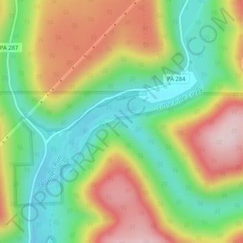
Name: Bear Run topographic map, elevation, terrain.

Location: Bear Run, Pine Township, Lycoming County, Pennsylvania, United States (41.45383 -77.26760 41.45556 -77.26432)

Average elevation: 418 m

Minimum elevation: 274 m

Maximum elevation: 606 m

Other topographic maps

Click on a map to view its topography, its elevation and its terrain.

Gear up for your next adventure:

🧦Outdoor Socks - Durable socks designed for hiking and outdoor sports
📷Outdoor Action Camera - Capture high-elevation views and rugged adventures
🚲Handlebar Phone Mount - View topographic-map.com live while cycling
🧦Hiking Socks - Moisture-wicking and comfortable socks for long hikes
Tent Footprint - Protect tent floor and increase durability

As an Amazon Associate, this site earns from qualifying purchases at no extra cost to you.