Geolocate

Cheshire topographic map

Click on the map to display elevation.

About this map

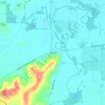
Name: Cheshire topographic map, elevation, terrain.

Location: Cheshire, Lane County, Oregon, United States (44.16959 -123.30565 44.20959 -123.26565)

Average elevation: 109 m

Minimum elevation: 91 m

Maximum elevation: 198 m

Gear up for your next adventure:

👟Leg Gaiters - Keep debris, mud, and snow out of your boots
🦌Outdoor Trail Camera - Monitor wildlife activity near your favorite spots
🎒Hiking Backpack - Lightweight and ergonomic backpacks for day hikes or multi-day treks
🛁Quick-Dry Microfiber Towel - Space-saving towel that dries rapidly on the move
🥫Freeze-Dried Meals - Lightweight, high-calorie nutrition for multi-day treks

As an Amazon Associate, this site earns from qualifying purchases at no extra cost to you.