Geolocate

Baxter topographic map

Click on the map to display elevation.

About this map

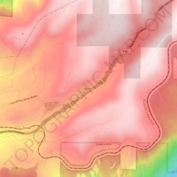
Name: Baxter topographic map, elevation, terrain.

Location: Baxter, Placer County, California, United States (39.19295 -120.80105 39.23295 -120.76105)

Average elevation: 1,232 m

Minimum elevation: 626 m

Maximum elevation: 1,406 m

Other topographic maps

Click on a map to view its topography, its elevation and its terrain.

Avery's Pond

United States > California > Placer County

Average elevation: 189 m

Lincoln

United States > California > Placer County

Average elevation: 60 m

Tahoe Vista

United States > California > Placer County > Kings Beach

Average elevation: 2,025 m

Lincoln

United States > California > Placer County

Average elevation: 34 m

Dollar Point

United States > California > Placer County

Average elevation: 1,955 m

Auburn Ravine

United States > California > Placer County > Auburn

Average elevation: 248 m

Deer Lake

United States > California > Placer County

Average elevation: 2,019 m

Gear up for your next adventure:

🛶Kayak Accessories - Essential gear for safe and fun kayaking adventures
🧣Merino Neck Gaiter - Protects against wind, sun, and cold at high altitudes
🔥Emergency Fire Starter - Reliable ignition source for all weather conditions
🥾Mountain Hiking Shoes - Shoes with superior grip for mountainous terrain
🔦LED Headtorch - Bright and durable light for night activities

As an Amazon Associate, this site earns from qualifying purchases at no extra cost to you.