Geolocate

Maragua topographic map

Click on the map to display elevation.

About this map

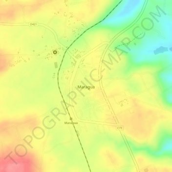
Name: Maragua topographic map, elevation, terrain.

Location: Maragua, Murang`a South, Murang'a County, Central Kenya, Kenya (-0.80414 37.12510 -0.78606 37.13894)

Average elevation: 1,355 m

Minimum elevation: 1,302 m

Maximum elevation: 1,390 m

Gear up for your next adventure:

🧥Waterproof Pants - Keep dry during rainy hiking conditions
🎒Backpack Rain Cover - External shield to keep your entire pack dry
🎒Fully Waterproof Backpack - Total protection for photography gear and electronics
🥾Waterproof Hiking Boots - Essential footwear for rugged terrain and wet Canadian trails
🚲Handlebar Phone Mount - View topographic-map.com live while cycling

As an Amazon Associate, this site earns from qualifying purchases at no extra cost to you.