
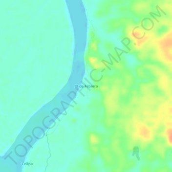
18 de Febrero topographic map
Interactive map
Click on the map to display elevation.
About this map
Name: 18 de Febrero topographic map, elevation, terrain.
Location: 18 de Febrero, Provincia de Maynas, Loreto, Perú (-3.98369 -73.17393 -3.94369 -73.13393)
Average elevation: 95 m
Minimum elevation: 83 m
Maximum elevation: 120 m