
Chéraga topographic map
Interactive map
Click on the map to display elevation.
About this map
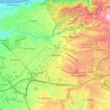
Name: Chéraga topographic map, elevation, terrain.
Location: Chéraga, Cheraga, Daïra Cheraga, Alger, 16018, Algérie (36.72684 2.92024 36.80684 3.00024)
Average elevation: 183 m
Minimum elevation: 0 m
Maximum elevation: 387 m