
Chesterton topographic map
Click on the map to display elevation.
About this map
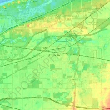
Name: Chesterton topographic map, elevation, terrain.
Location: Chesterton, Porter County, Indiana, 46304, United States (41.57059 -87.10420 41.65059 -87.02420)
Average elevation: 197 m
Minimum elevation: 175 m
Maximum elevation: 225 m