Geolocate

Cemandi topographic map

Click on the map to display elevation.

About this map

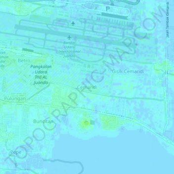
Name: Cemandi topographic map, elevation, terrain.

Location: Cemandi, Sedati, Sidoarjo, East Java, 61253, Indonesia (-7.41149 112.76944 -7.37149 112.80944)

Average elevation: 1 m

Minimum elevation: -4 m

Maximum elevation: 7 m

Gear up for your next adventure:

🔦LED Headlamp - Hands-free lighting for early morning starts or late finishes
🚲MTB Frame Bag - Carry tools and maps directly on your bicycle frame
🧥Thermal Fleece Jacket - Versatile insulation for changing mountain temperatures
💧Reusable Water Bottle - Durable water bottles for hydration on trails
🕯️Camping Lantern - Illuminates your entire campsite with high-efficiency LEDs

As an Amazon Associate, this site earns from qualifying purchases at no extra cost to you.