
Skyline topographic map
Click on the map to display elevation.
Skyline
According to the U.S. Census Bureau, the city has a total area of 0.17 square miles (0.44 km2), all land. Its elevation is 980 feet (300 m) above sea-level.
About this map
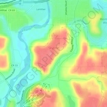
Name: Skyline topographic map, elevation, terrain.
Location: Skyline, Blue Earth County, Minnesota, United States (44.13553 -94.03959 44.14590 -94.02884)
Average elevation: 265 m
Minimum elevation: 230 m
Maximum elevation: 309 m
Other topographic maps
Click on a map to view its topography, its elevation and its terrain.