Geolocate

Canyon topographic map

Click on the map to display elevation.

About this map

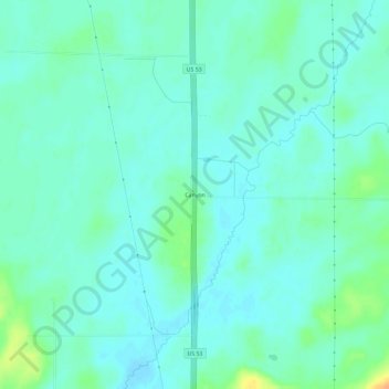
Name: Canyon topographic map, elevation, terrain.

Location: Canyon, Saint Louis County, Minnesota, 55717, United States (47.01994 -92.49075 47.05994 -92.45075)

Average elevation: 411 m

Minimum elevation: 403 m

Maximum elevation: 437 m

Gear up for your next adventure:

🥾Hiking Gaiters - Protect legs and shoes from mud, snow, and debris
🥾Hiking Leggings - Comfortable leggings for outdoor activities
💡LED Headlamp - Hands-free illumination for night hiking and camping
🧥Softshell Jacket - Windproof and breathable jacket for hiking
❄️Traction Ice Cleats - Slip-on spikes for icy trails and winter hiking

As an Amazon Associate, this site earns from qualifying purchases at no extra cost to you.