
Peruri topographic map
Click on the map to display elevation.
About this map
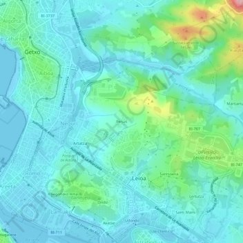
Name: Peruri topographic map, elevation, terrain.
Location: Peruri, Lejona, Andraka, Vizcaya, País Vasco, 48620, España (43.31644 -3.00858 43.35644 -2.96858)
Average elevation: 37 m
Minimum elevation: -2 m
Maximum elevation: 199 m