Geolocate

Carters Mill topographic map

Click on the map to display elevation.

About this map

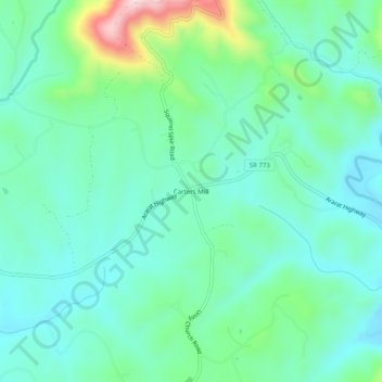
Name: Carters Mill topographic map, elevation, terrain.

Location: Carters Mill, Patrick County, Virginia, United States (36.58458 -80.49645 36.62458 -80.45645)

Average elevation: 456 m

Minimum elevation: 378 m

Maximum elevation: 715 m

Gear up for your next adventure:

🧥Softshell Hiking Jacket - The perfect balance of wind protection and breathability
🧥Packable Rain Jacket - Breathable waterproof layer for unpredictable weather
🥾Durable Hiking Shoes - Long-lasting shoes for frequent hiking
🧭GPS Handheld Device - Reliable GPS navigation for outdoor adventures
🩹Compact First Aid Kit - Pre-packed essentials for common trail injuries

As an Amazon Associate, this site earns from qualifying purchases at no extra cost to you.