Geolocate

Marritt Pond topographic map

Click on the map to display elevation.

About this map

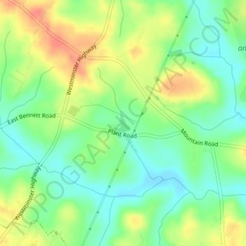
Name: Marritt Pond topographic map, elevation, terrain.

Location: Marritt Pond, Oconee County, South Carolina, United States (34.68944 -83.07418 34.69158 -83.07215)

Average elevation: 259 m

Minimum elevation: 235 m

Maximum elevation: 292 m

Other topographic maps

Click on a map to view its topography, its elevation and its terrain.

Gear up for your next adventure:

🧥Fleece Jacket - Warm and lightweight jacket for layering
Family Camping Tent - Spacious tent suitable for family camping trips
💡Solar Camping Lamp - Eco-friendly lighting for campsites
🔪Outdoor Multitool - Versatile tool for repairs and food prep in the wild
🧢Hiking Sun Hat - Wide-brimmed protection for exposed mountain ridges

As an Amazon Associate, this site earns from qualifying purchases at no extra cost to you.