Geolocate

Lemma topographic map

Click on the map to display elevation.

About this map

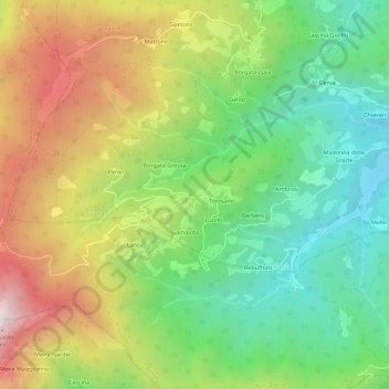
Name: Lemma topographic map, elevation, terrain.

Location: Lemma, Rossana, Cuneo, Piemonte, Italia (44.50086 7.36502 44.54086 7.40502)

Average elevation: 1,006 m

Minimum elevation: 596 m

Maximum elevation: 1,604 m

Gear up for your next adventure:

🌡️Emergency Mylar Blankets - Compact thermal protection for unexpected nights outdoors
🧥Fleece Jacket - Warm and lightweight jacket for layering
🥾Hiking Leggings - Comfortable leggings for outdoor activities
🥫Freeze-Dried Meals - Lightweight, high-calorie nutrition for multi-day treks
🧴Insect Repellent - Protect yourself from bugs during outdoor adventures

As an Amazon Associate, this site earns from qualifying purchases at no extra cost to you.