
Gossi topographic map
Interactive map
Click on the map to display elevation.
About this map
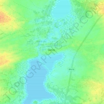
Name: Gossi topographic map, elevation, terrain.
Location: Gossi, Cercle de Gourma-Rharous, Tombouctou, Mali (15.77791 -1.34945 15.85791 -1.26945)
Average elevation: 290 m
Minimum elevation: 279 m
Maximum elevation: 312 m