Geolocate

Usselo topographic map

Click on the map to display elevation.

About this map

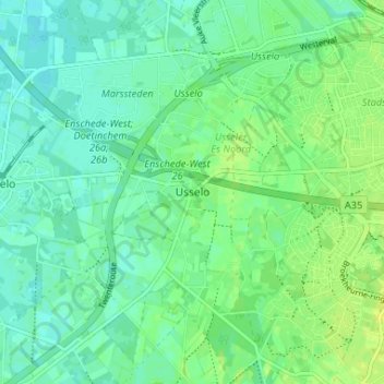
Name: Usselo topographic map, elevation, terrain.

Location: Usselo, Enschede, Overijssel, Netherlands, 7548 RZ, Netherlands (52.18317 6.81316 52.22317 6.85316)

Average elevation: 31 m

Minimum elevation: 25 m

Maximum elevation: 39 m

Gear up for your next adventure:

🩹Moleskin Blister Pads - Direct protection for painful foot pressure points
💡LED Camping Lantern - Illuminate your campsite with long-lasting lanterns
🚲MTB Frame Bag - Carry tools and maps directly on your bicycle frame
🧦Outdoor Socks - Durable socks designed for hiking and outdoor sports
Camping Groundsheet - Protect your tent from moisture and dirt

As an Amazon Associate, this site earns from qualifying purchases at no extra cost to you.