Geolocate

Trenton topographic map

Click on the map to display elevation.

About this map

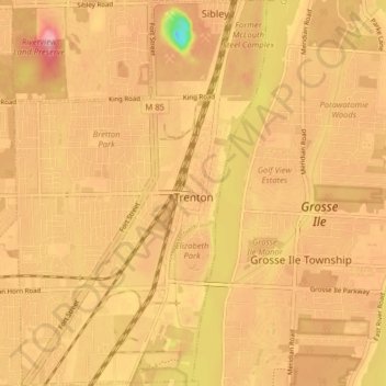
Name: Trenton topographic map, elevation, terrain.

Location: Trenton, Wayne County, Michigan, 48183, United States (42.11191 -83.22115 42.17075 -83.16496)

Average elevation: 180 m

Minimum elevation: 96 m

Maximum elevation: 221 m

Other topographic maps

Click on a map to view its topography, its elevation and its terrain.

Perrinville

United States > Michigan > Wayne County > Westland

Average elevation: 195 m

Sunnyside

United States > Michigan > Wayne County > Romulus

Average elevation: 194 m

Calvert Park

United States > Michigan > Wayne County > Detroit

Average elevation: 196 m

Elm

United States > Michigan > Wayne County > Livonia

Average elevation: 195 m

Newburg

United States > Michigan > Wayne County > Livonia

Average elevation: 209 m

Dearborn

United States > Michigan > Wayne County > Dearborn

Average elevation: 190 m

Gear up for your next adventure:

🚲Heavy Duty Bike Lock - Secure your bike at the trailhead or during stops
📷Outdoor Action Camera - Capture high-elevation views and rugged adventures
🕶️Polarized Sunglasses - Reduces glare from snow and water at high elevations
🥾Trail Hiking Shoes - Durable shoes designed for rugged trails
💧Filtered Water Bottle - Safe drinking water on the go

As an Amazon Associate, this site earns from qualifying purchases at no extra cost to you.