Geolocate

Ritchie topographic map

Click on the map to display elevation.

About this map

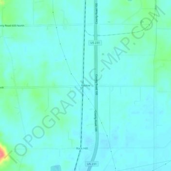
Name: Ritchie topographic map, elevation, terrain.

Location: Ritchie, Spencer County, Indiana, 57611, United States (37.93977 -87.05889 37.97977 -87.01889)

Average elevation: 127 m

Minimum elevation: 116 m

Maximum elevation: 183 m

Gear up for your next adventure:

👖Convertible Hiking Pants - Zip-off legs to adapt to changing weather conditions
🥾Approach Shoes - Shoes designed for climbing approaches and rugged trails
🧥Thermal Fleece Jacket - Versatile insulation for changing mountain temperatures
🥾Mountaineering Boots - Supportive boots for climbing and high-altitude hiking
🧴Outdoor Sunscreen - High SPF protection for high-altitude UV exposure

As an Amazon Associate, this site earns from qualifying purchases at no extra cost to you.