Geolocate

Hartland topographic map

Click on the map to display elevation.

About this map

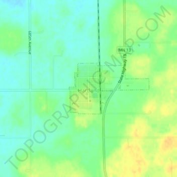
Name: Hartland topographic map, elevation, terrain.

Location: Hartland, Freeborn County, Minnesota, 56042, United States (43.80010 -93.49081 43.80786 -93.47391)

Average elevation: 382 m

Minimum elevation: 370 m

Maximum elevation: 396 m

Gear up for your next adventure:

❄️Traction Ice Cleats - Slip-on spikes for icy trails and winter hiking
🛶Kayak Accessories - Essential gear for safe and fun kayaking adventures
🧶550 Survival Paracord - Versatile utility cord for emergency repairs and rigging
🎒Fully Waterproof Backpack - Total protection for photography gear and electronics
🔭Outdoor Binoculars - Lightweight binoculars for birdwatching and hiking

As an Amazon Associate, this site earns from qualifying purchases at no extra cost to you.