Geolocate

Kuchi topographic map

Click on the map to display elevation.

About this map

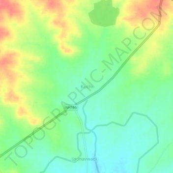
Name: Kuchi topographic map, elevation, terrain.

Location: Kuchi, Kavathemahankal, Sangli, Maharashtra, 416405, India (17.04030 74.84405 17.08030 74.88405)

Average elevation: 675 m

Minimum elevation: 648 m

Maximum elevation: 713 m

Gear up for your next adventure:

💡LED Camping Lantern - Illuminate your campsite with long-lasting lanterns
💡LED Headlamp - Hands-free illumination for night hiking and camping
Camping Essentials - All-in-one gear for a comfortable camping trip
🧣Merino Neck Gaiter - Protects against wind, sun, and cold at high altitudes
🥾Lightweight Hiking Shoes - Comfortable shoes for day hikes

As an Amazon Associate, this site earns from qualifying purchases at no extra cost to you.