Geolocate

Logansport topographic map

Click on the map to display elevation.

About this map

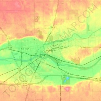
Name: Logansport topographic map, elevation, terrain.

Location: Logansport, Cass County, Indiana, 46947, United States (40.71450 -86.39674 40.79450 -86.31674)

Average elevation: 206 m

Minimum elevation: 153 m

Maximum elevation: 245 m

Gear up for your next adventure:

🥾Lightweight Hiking Boots - Boots for comfort and mobility on long hikes
🧤Insulated Winter Gloves - Heavy-duty protection for sub-zero Canadian adventures
🧥Thermal Layer - Insulating layer for cold outdoor conditions
🧦Merino Wool Socks - Moisture-wicking comfort for long-distance hiking
🛶Canoe Life Vest - Safety vest for water sports

As an Amazon Associate, this site earns from qualifying purchases at no extra cost to you.