Geolocate

Norman topographic map

Click on the map to display elevation.

About this map

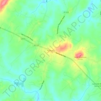
Name: Norman topographic map, elevation, terrain.

Location: Norman, Culpeper County, Virginia, United States (38.49262 -78.08500 38.53262 -78.04500)

Average elevation: 157 m

Minimum elevation: 128 m

Maximum elevation: 216 m

Gear up for your next adventure:

🥾Trail Hiking Shoes - Durable shoes designed for rugged trails
🧭GPS Tracker - Track your location in remote areas safely
🛌Insulated Sleeping Pad - Critical thermal barrier between you and the cold ground
🥾Approach Shoes - Shoes designed for climbing approaches and rugged trails
🧢Hiking Hat - Sun-protective and breathable hats for long treks

As an Amazon Associate, this site earns from qualifying purchases at no extra cost to you.