Geolocate

Anta topographic map

Click on the map to display elevation.

About this map

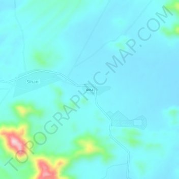
Name: Anta topographic map, elevation, terrain.

Location: Anta, Sihani, Ramsar Tehsil, Barmer, Rajasthan, India (25.75172 71.07307 25.79172 71.11307)

Average elevation: 263 m

Minimum elevation: 226 m

Maximum elevation: 519 m

Gear up for your next adventure:

🔭Outdoor Binoculars - Lightweight binoculars for birdwatching and hiking
Bushcraft Tarp - Versatile emergency shelter or gear protection
Camping Essentials - All-in-one gear for a comfortable camping trip
🥾Light Hiking Boots - Lightweight and comfortable boots for day hikes
🧤Insulated Winter Gloves - Heavy-duty protection for sub-zero Canadian adventures

As an Amazon Associate, this site earns from qualifying purchases at no extra cost to you.