
Pagung topographic map
Interactive map
Click on the map to display elevation.
About this map
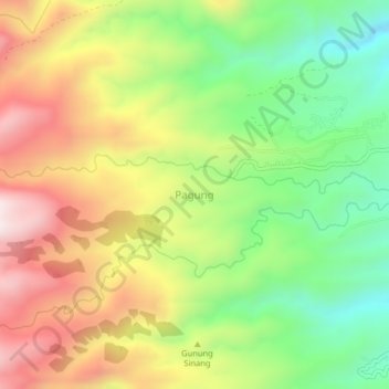
Name: Pagung topographic map, elevation, terrain.
Location: Pagung, Kediri, East Java, Indonesia (-7.84831 111.86222 -7.80831 111.90222)
Average elevation: 644 m
Minimum elevation: 323 m
Maximum elevation: 1,015 m