
Barreda topographic map
Click on the map to display elevation.
Barreda
Barreda es una localidad del municipio de Torrelavega (Cantabria, España). Es el núcleo situado más al norte del término, a 2,2 kilómetros de la capital y 20 metros de altitud sobre el nivel del mar. El código postal de Barreda es el 39300. En esta localidad se encuentra el matadero comarcal.
About this map
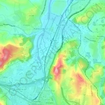
Name: Barreda topographic map, elevation, terrain.
Location: Barreda, Torrelavega, Besaya, Cantabria, 39300, España (43.34872 -4.06245 43.38872 -4.02245)
Average elevation: 38 m
Minimum elevation: -3 m
Maximum elevation: 131 m