
Lahage topographic map
Interactive map
Click on the map to display elevation.
About this map
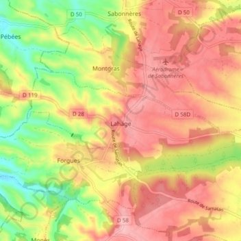
Name: Lahage topographic map, elevation, terrain.
Average elevation: 287 m
Minimum elevation: 210 m
Maximum elevation: 341 m
La superficie de la commune est de 765 hectares ; son altitude varie de 223 à 333 mètres.