
Thank you for supporting this site ❤️
Make a donation
Make a donation
Gear up for your next adventure:
As an Amazon Associate, this site earns from qualifying purchases at no extra cost to you.
Forgnengo topographic map
Click on the map to display elevation.
Thank you for supporting this site ❤️
Make a donation
Make a donation
Gear up for your next adventure:
As an Amazon Associate, this site earns from qualifying purchases at no extra cost to you.
About this map
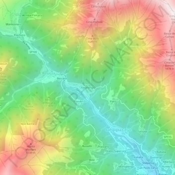
Name: Forgnengo topographic map, elevation, terrain.
Location: Forgnengo, Campiglia Cervo, Biella, Piemonte, 13815, Italia (45.65245 7.96990 45.69245 8.00990)
Average elevation: 1,234 m
Minimum elevation: 714 m
Maximum elevation: 1,986 m
Thank you for supporting this site ❤️
Make a donation
Make a donation
Gear up for your next adventure:
As an Amazon Associate, this site earns from qualifying purchases at no extra cost to you.