
Thank you for supporting this site ❤️
Make a donation
Make a donation
Gear up for your next adventure:
As an Amazon Associate, this site earns from qualifying purchases at no extra cost to you.
Mallnitz topographic map
Click on the map to display elevation.
Thank you for supporting this site ❤️
Make a donation
Make a donation
Gear up for your next adventure:
As an Amazon Associate, this site earns from qualifying purchases at no extra cost to you.
About this map
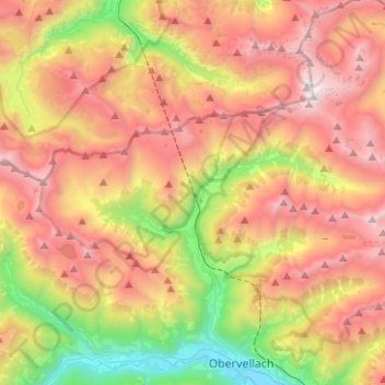
Name: Mallnitz topographic map, elevation, terrain.
Location: Mallnitz, Bezirk Spittal an der Drau, Carinthia, 9822, Austria (46.96665 13.07000 47.05058 13.32043)
Average elevation: 1,926 m
Minimum elevation: 662 m
Maximum elevation: 3,193 m
Thank you for supporting this site ❤️
Make a donation
Make a donation
Gear up for your next adventure:
As an Amazon Associate, this site earns from qualifying purchases at no extra cost to you.