Geolocate

Ambapua topographic map

Click on the map to display elevation.

About this map

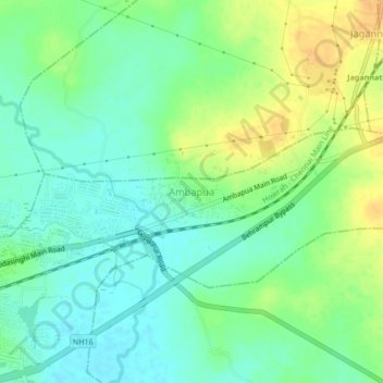
Name: Ambapua topographic map, elevation, terrain.

Location: Ambapua, Brahmapur (M.Corp.), Ganjam, Odisha, 760010, India (19.29722 84.82732 19.33722 84.86732)

Average elevation: 20 m

Minimum elevation: 7 m

Maximum elevation: 38 m

Gear up for your next adventure:

💡Portable Camping Lamp - Rechargeable lamp for campsite lighting
🧰Multitool Knife - Compact and versatile tool for outdoor use
🦌Outdoor Trail Camera - Monitor wildlife activity near your favorite spots
🥫Freeze-Dried Meals - Lightweight, high-calorie nutrition for multi-day treks
🗺️Topographic Maps - Detailed maps to explore trails, mountains, and wilderness areas

As an Amazon Associate, this site earns from qualifying purchases at no extra cost to you.